Day 76: Rouses Point, NY to Chambly Canal Lock 8, Quebec, Canada
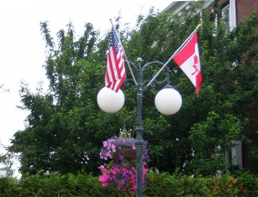
Day 76: Thursday, June 30th: This morning was quite pretty, so Bill did chores - wash boat, engine checks, etc. - while Ruth went back into town to mail more packages and pick up some groceries. While she was in town, she spotted some more color. This gives you the spirit that we are spitting distance from Canada:
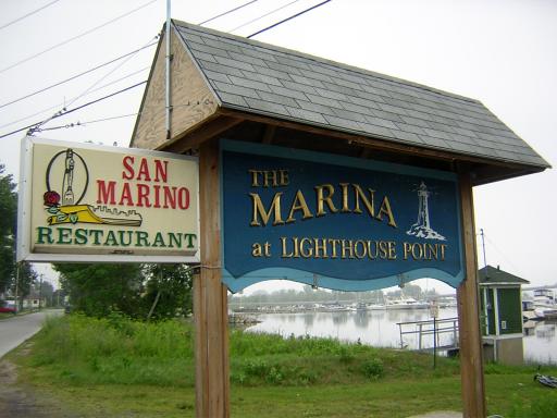
And on the way back to the boat she chronicled the marina:
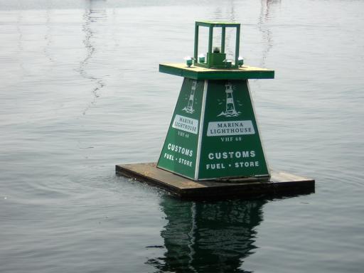
We got underway about 12:30 and headed out of the marina channel. Ruth noticed one of the entrance buoys was in French (well, sort of…):
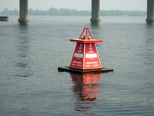
.. and the other in English. The "Douanes" and "Customs" were for U.S Customs. Canada Customs was north (down river) about half a mile:
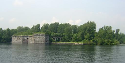
Just above the bridge between Vermont and New York is Fort Montgomery on the New York side. It has been given the nickname of "Fort Blunder". It seems the surveyors and engineers that laid out the U.S.-owned Fort in 1814 erred by a little bit, and actually built the fort in Canada! The error was realized too late. However, when the U.S. and Canada were negotiating some border adjustments some years later, the border here was moved north enough to put the fort back in its home country. It is abandoned now:
A few hundred yards further along this sign greets you:
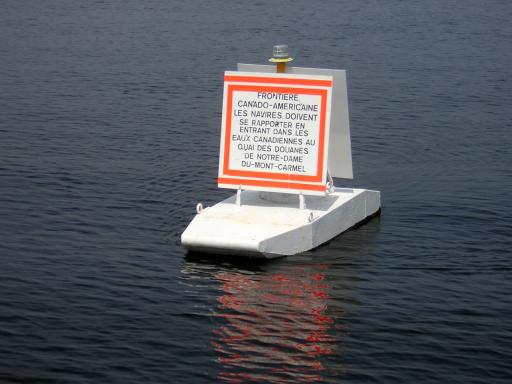
O.K. you don't have to guess, here is a translation:
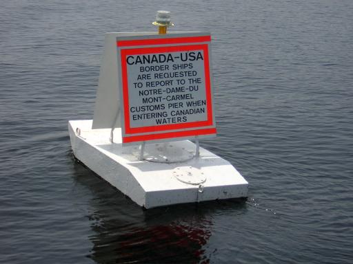
We, of course, complied with the request and tied up to the Customs pier. We cleared customs with only one mishap. Do you remember Ruth's herb garden - our concession to her favorite hobby? Well, here is what it looked like when we arrived at the Customs pier:
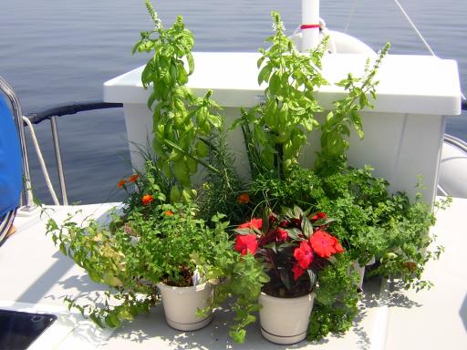
And after Customs spotted it, this is what it looked like:
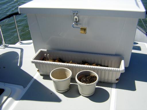
It seems anything with roots is not allowed into Canada. Ah, well, Ruth took the disappointment in stride like a good trooper. No tears or anything.
Continuing her habit of photographing bridges, Ruth caught this railroad bridge. Seems many of the lower railroad bridges are left open unless a train is coming. It looked like a train hadn't been on these tracks for decades:
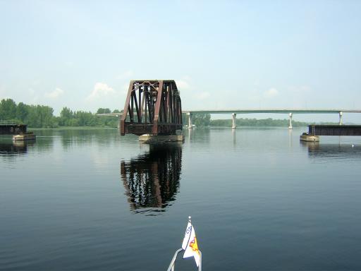
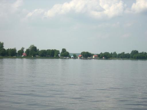
We were now in the Richelieu River. We never figured out where Lake Champlain ended and the river began, but our guess was that it changed at the Canadian border. We have now left the mountains and are back in farming country. The houses along the river and their landscaping were quite pretty:

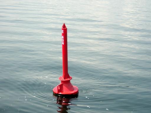
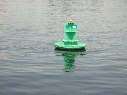
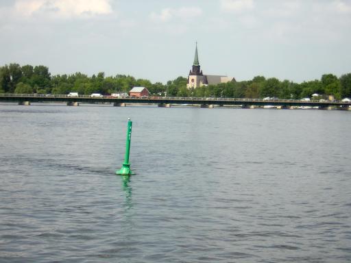
We noted the unusual shapes of the buoys here in Canada:
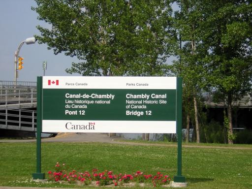
Parts of the Richelieu River is full of rapids, so they built the Chambly Canal to bypass them. That effort started in 1831 and was finished in 1843. The canal locks are operated by hand, just as they were then. Several bridges have been built over the canal and many of them are hand operated as well. The first bridge is Number 12 and is very close to Lock 9 (Nine locks in the Canal):
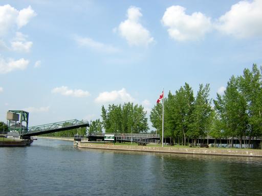
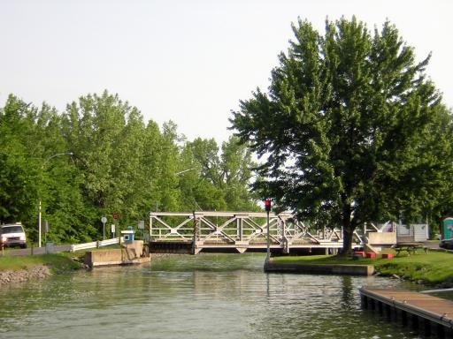
We passed through lock 9 and decided, at the advice of the lockmaster, to go to the next lock to tie up for the night. It was quieter and prettier. So we followed one other boat along the canal for another few miles. We passed several more bridges that were all are nicely landscaped and many are hand-operated swing bridges like this one:
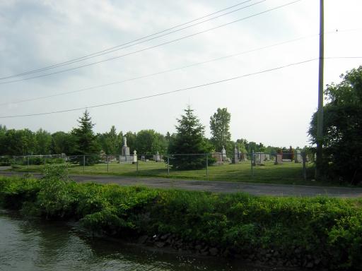
When we saw this cemetery we realized we had not seen any cemeteries since we left Bonaventure Cemetery in Savannah:
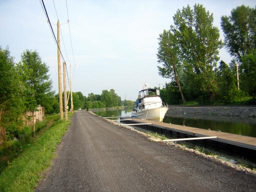
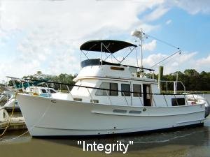
We arrived at the floating dock at lock 8 and tied up. It was very rural and quiet. Did we mention Integrity's brown moustache is back? The river waters really stain the boat and there is no wax on the hull. That makes it much worse. The thing that looks like a road along the canal is the original mule path converted to a bike and running/walking path. It gets lots of use:
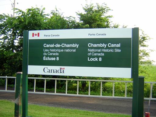
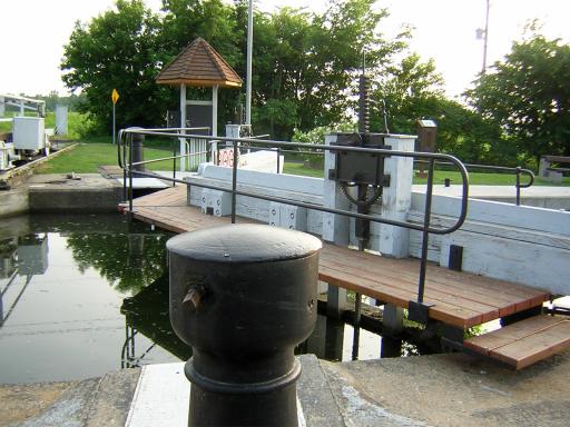
After supper we walked up to the lock to check it out. The canal officially closes at 6:00pm this time of year. This turret-looking thing is the mechanism that the lockmaster turns with a crank to open the gate. Just up and to the right in the picture is a rack-and-pinion device that is cranked to open and close the sluice gate to let water into the upper end of the lock (there is one at the other end to let water out). There are two gates and two sluice gates at each end; the water flows by gravity. No power, other than arm power, is used:
Right next to the lock - about ten feet away - is a bridge. It was operated manually for years but now has an electric motor on it to roll it out of the way (remember this, it becomes important later):
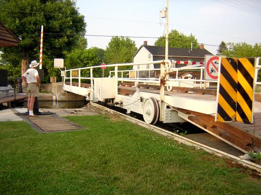
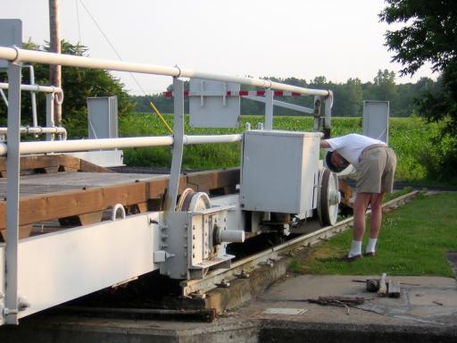
Bill's engineering mind had to check out how the thing worked:
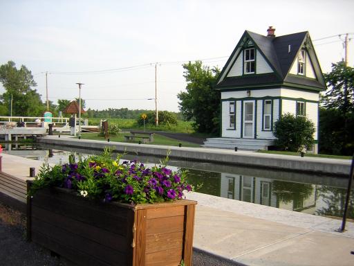
The locks are operated by Parcs Canada (Parks Canada in English) and the lockmasters take great pride in keeping the area neat, clean and beautiful. Actually, they often have very little to do except be on duty! Lock 8 was one of the prettiest:
On the gate wall in the lock are these four signs. You can probably guess what they all mean except the last one:
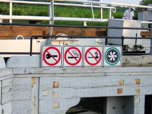
O.K. - "Ignition Off (don't run the engines), "No Smoking," "No Flames" and "Blower On". Most boats, and all gasoline-operated boats, have engine-room blowers to clear gas fumes out of that enclosed space. They don't want a fire in the lock. There are usually several boats locking through together.
We noted that we had traversed a total of fifteen locks so far on this trip; and many more to come.
It was still hot and humid today. However, the weather forecast was for high winds, showers and thundershowers all day tomorrow -- there was a front coming through. We figured we might just wait a day rather than try to lock through eight more locks in that weather. Turned out to be a good plan. You'll see why when you check tomorrow's log.
Position tonight: N45 26.223 W073 15.389
To return to our Main Page simply  close this window.


 close this window.