Day 72: Comstock, NY to Addison, VT
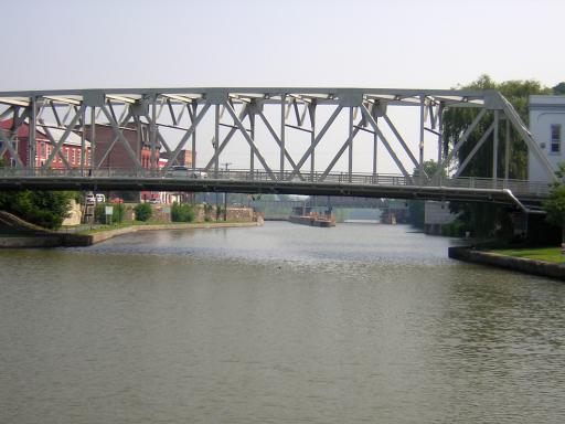
Day 72: Sunday, June 26th: We got going about 8:30 this morning and went through lock C-11 before breakfast. As we approached Whitehall, NY - the last town on the Champlain Canal - the view of the "Birthplace of the U.S. Navy" looked like this. You can see C-12, the last lock on the canal:
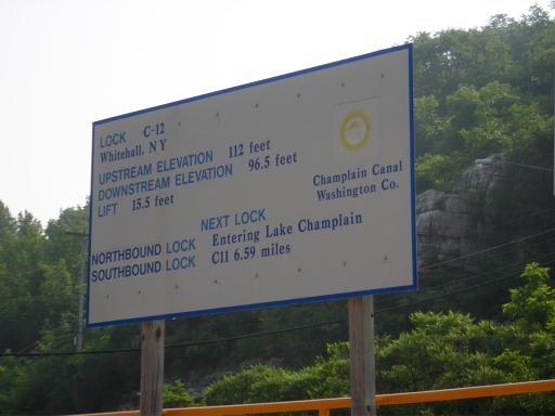
This sign documented the facts - we were now in the sixth largest fresh water lake in the world (Country? Continent? Hemisphere?). Bill was surprised to see we were only 96.5 feet higher than New York Harbor. Less than half-a-foot per mile in spite of all the locks!
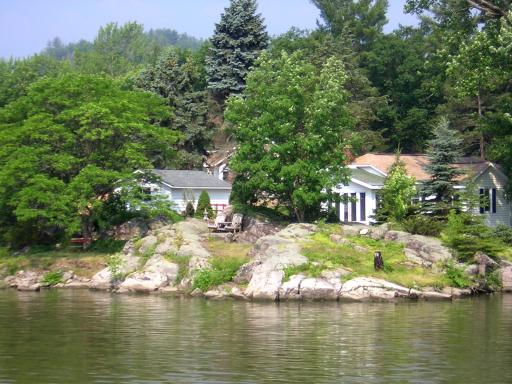
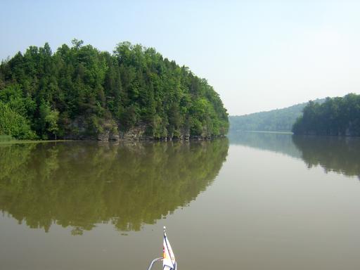
Just past Whitehall the terrain took on a definite rocky flair. It reminded us of the Muskoka Lakes region of Ontario with the houses built out near the water:
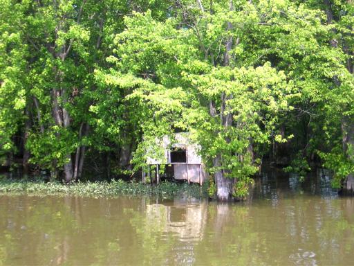
There had been so much rain in this region lately that the lake level was about three feet high, flooding the lower marshes. There were many duck blinds along this section, most in disrepair:
The southern part of Lake Champlain is very narrow - more like a river than a lake. It being Sunday morning, we saw many fishing boats. Some of the occupants were actually fishing:
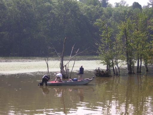
The Lake has developed a heavy growth of Milfoil - an invasive non-native seaweed-like weed that takes over the water, choking the tributary streams and eventually the lake. It is a real problem with no good way to eliminate it:
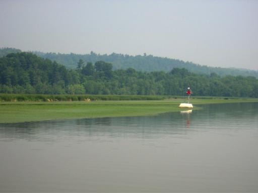
However, the steeper banks and cliffs are free of the milfoil. This area reminded Bill of his boyhood days boating on the Tennessee River. Beautiful!
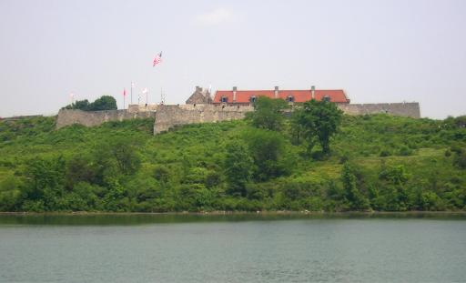
As we left the narrowest part of the lower lake we came to the site of Fort Ticonderoga. This fort played a major role in this are during the American Revolution:
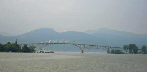
In a few miles we rounded a bend and saw the Champlain Bridge - one of very few that cross the lake. And they cross at the upper and lower ends where it is narrow. It was again hot and hazy, but this view was interesting with the Adirondack Mountains in the distance. You can also see the Champlain Memorial on the far left:
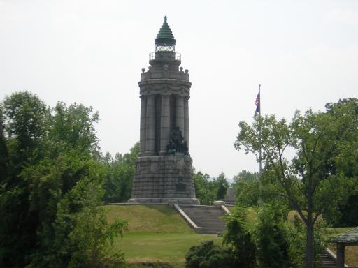
The Memorial is quite impressive. Champlain was the major explorer of the area in the early days:
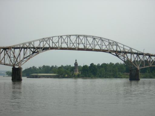
As we passed under the bridge we got this view of the bridge and memorial. That's an old ferry terminal on the left:
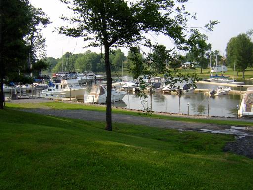
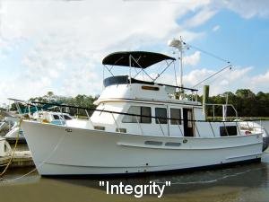
A short distance further we turned into a little creek in Addison, VT to get to Champlain Bridge Marina, our home for the night. It was very protected but the little marina was not used to transient cruisers. We were the only transients, and one of the biggest boats! You can see Integrity tied up at the fuel dock to the left:
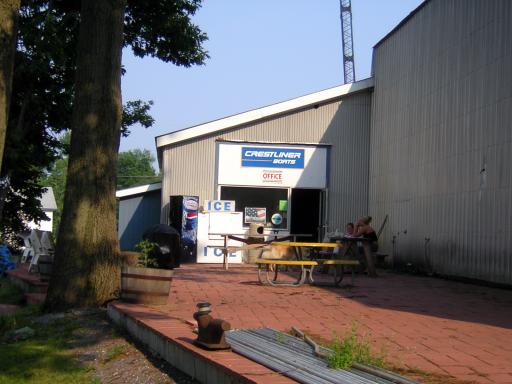
The marina office was quite modest but boasted a well-stocked ship's store and a nice staff:
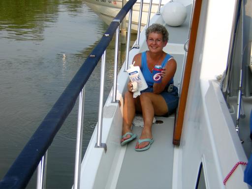
Bill washed the decks and worked on planning the next few days' passage while Ruth spent time waxing the boat and enjoying a cool one:
We took the advice of the marina proprietor and walked a short distance to the "Bridge Restaurant" for supper. It was a fun little Vermont country restaurant, very reasonably priced and served good food.
Back at the boat we planned to get up early to step the mast and boom and pump out the holding tank. Real fun!
Position tonight: N44 02.460 W073 25.014
To return to our Main Page simply  close this window.


 close this window.