Day 360 - St. Simons Island to Near Sapelo Island, GA
Day 360 - Friday, April 21st: This morning we enjoyed a big breakfast that included free muffins, compliments of the marina. They also provided a free copy of the Atlanta newspaper. Next, Ruth borrowed the Marina's courtesy car and made a quick trip to the grocery store for a few things we were low on.
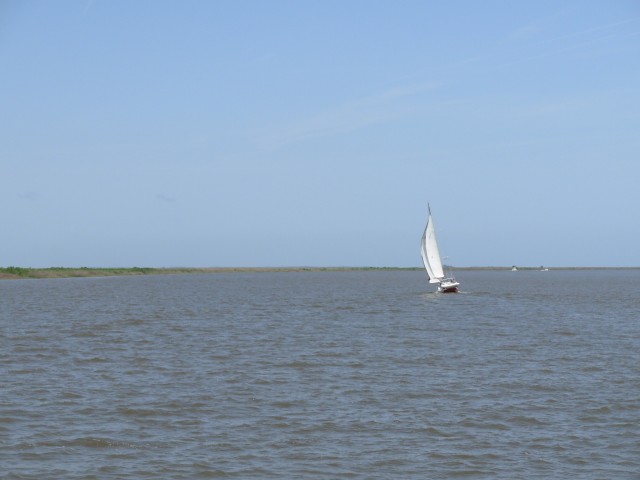
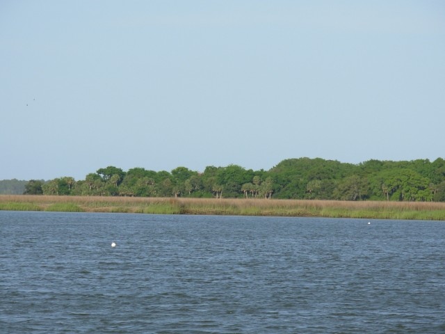
We were underway a little late but again today, didn't have very far to go. We cruised easily along. We were back in the expansive marshland of Georgia. We followed this sailboat for much of the day. We enjoyed watching him change sails as the waterway wound its way northward. He sailed on every point of wind as the day went on:
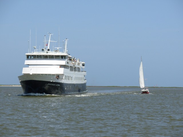
As we were entering Albemarle Sound, we met another pocket cruise ship; this one looked much bigger:
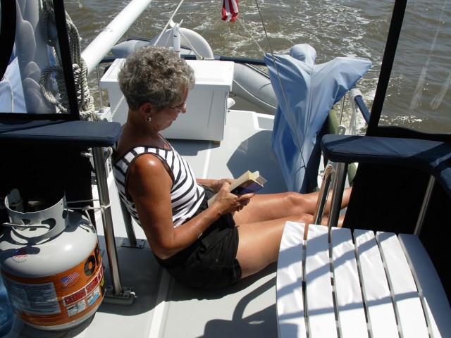
Ruth spent much of the pretty afternoon engaged in her favorite pastime:
We soon traversed the "Little Mud River." This river was very shallow and had to be dredged extensively when the ICW was built. The dirt taken from the bottom, called "spoil," is normally piled up along the banks. In this case, enterprising people built a house on the spoil island. We saw several of these:
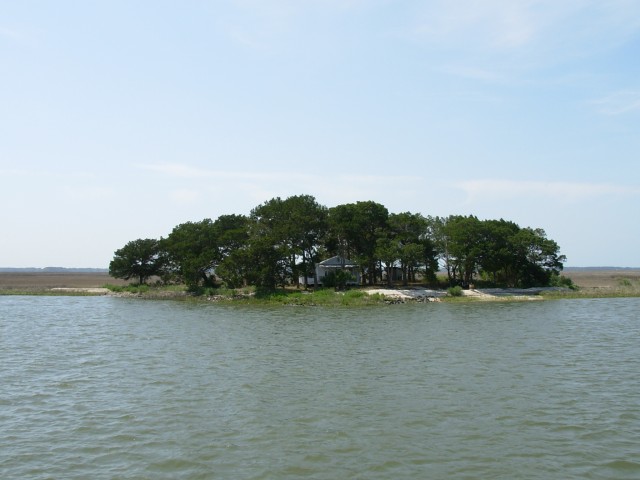
Apparently there are lots of families that live on islands like that. This is the ferry that takes the people back and forth among the various islands:
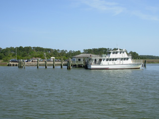
The ferry is Sapelo Queen and the landing is Marsh Landing on Sapelo Island. You can see the people's cars and trucks. The school bus is in the lot as well.
We had planned to anchor for the night a little way upstream from Marsh Landing on the Duplin River. However, the river runs north to south and a strong south wind was blowing. We opted to go to another anchorage a few miles away in New Teakettle Creek that offered a little better southerly protection although it was surrounded by marsh instead of trees and land. Looking north in the anchorage we saw -- marsh grass.
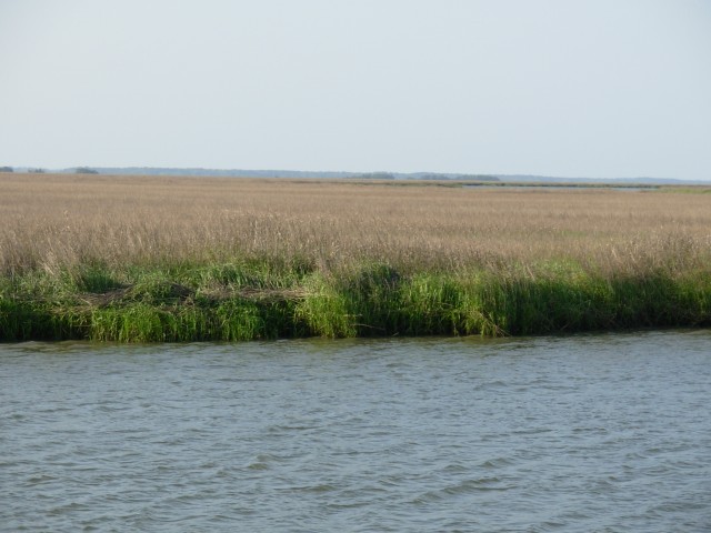
Looking south, we saw -- marsh grass. Those white spots are crab trap floats:
It's time for a little background. When one anchors a boat, the Navigation Rules say one must show an anchor light. An anchor light is an all-round (360 degree visibility) white light with visibility of two to three miles, depending on vessel length. Integrity falls into the two-mile category.
The problem is: an incandescent light that is visible for two miles takes a lot of electrical power. Since we are primarily battery dependent, the anchor light puts a strain on our batteries. So, a few weeks ago, we adopted a trick we have seen lots of sailboats use. We went to Home Depot and bought a patio/walkway light that is solar powered and has a light sensor and LED bulb. Bill modified it slightly and hauled it up the courtesy flag halyard.
In this picture, it's the black thing that looks like -- well -- it looks like a patio light:
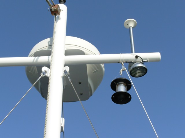
Now we don't have to remember to turn on the anchor light since the LED has the sensor that turns it on near dark.
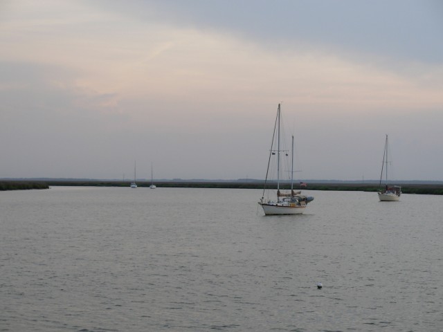
As night drew near, several other boats came in and anchored; all sailboats. By the time we went to bed there were six of us in the anchorage:
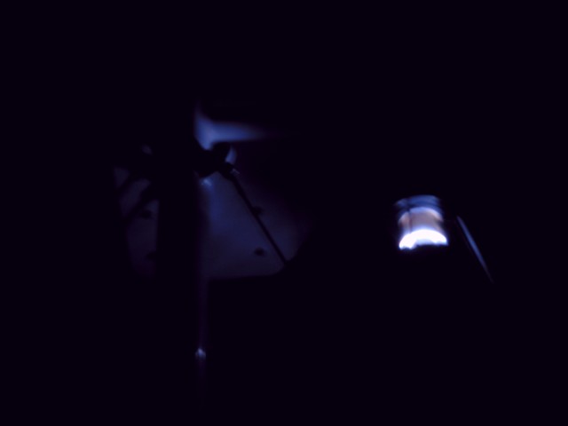
Oh! And this is the light after the sun set and it got dark. Ruth had a hard time holding the camera still, but managed to get this shot. It's from the same angle as the daytime one. That whitish thing is the radar dome. By the way, we think the visibility is about one mile -- that's a guess:
We were snug and secure in spite of the low country.
Position tonight: N31 27.629 W081 18.039
To return to our Main Page simply  close this window.