Day 358 - Jacksonville Beach to Fernandina Beach, FL
Day 358 - Wednesday, April 19th: We got up early this morning and got underway about 7:50am. It wasn't because we had a long cruise or anything like that, but the tide was dropping, and we would be resting on the bottom in an hour or so if we didn't go early.
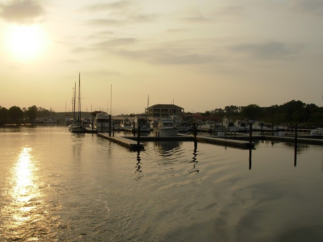
So, in the early light of morning, we started out. This is what the marina looked like as we felt our way out of the inlet:
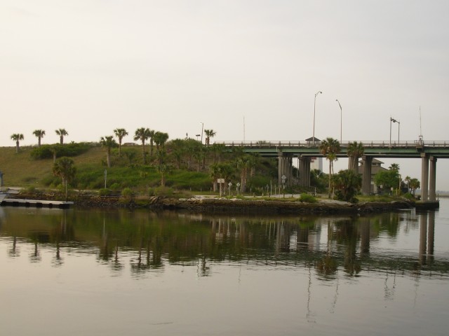
As we entered the ICW, this little park was on the corner of the inlet. It was very nicely landscaped:
We were in absolutely no hurry. We were only going about 27 miles today to an anchorage and, even at idle speed, we could be there around noon.
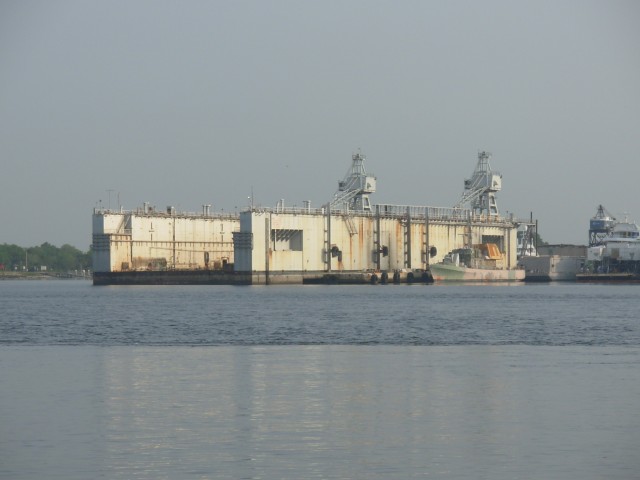
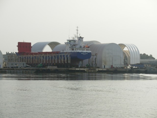
A few miles north of the marina we crossed the St. Johns River. On the banks of the river is this huge shipyard:
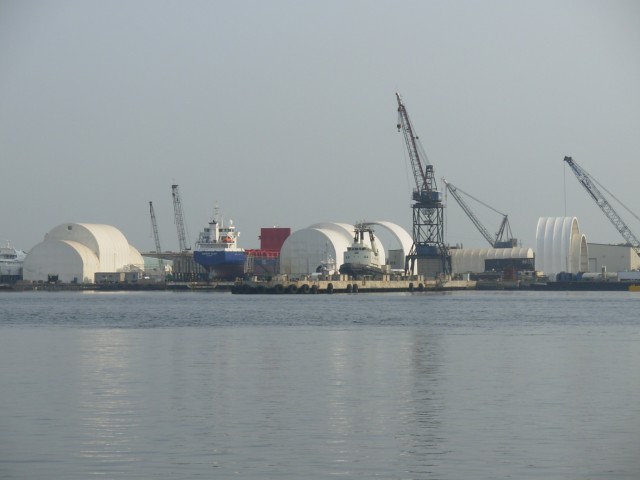
This picture shows two things. First is this big empty drydock which could hold a very large ship. Second, if you look at the water, you can see the strong rip currents from the river's outgoing rush of water:
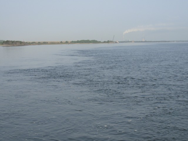
The tide was going out, and the current was about 2-3 knots. Here is a look upstream in the river:
As we got closer to the drydock we could appreciate the enormity of it:
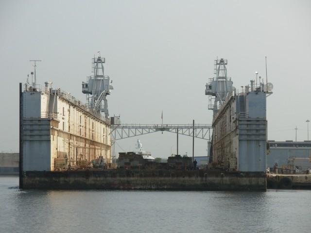
The entire facilities in the yard seemed oversized:
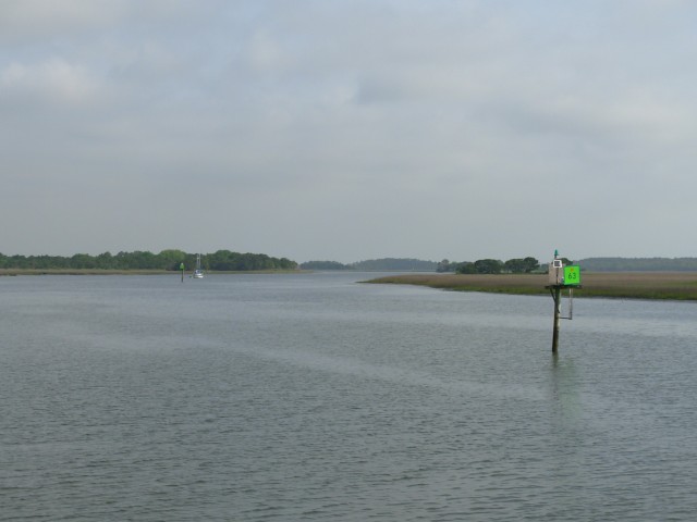
In a mile or so we were in Sisters Creek and the landscape became serene. We were back in the area where there are no banks to the creeks and rivers, but rather marsh and marsh grass. This is the type scenery we will see for several days:
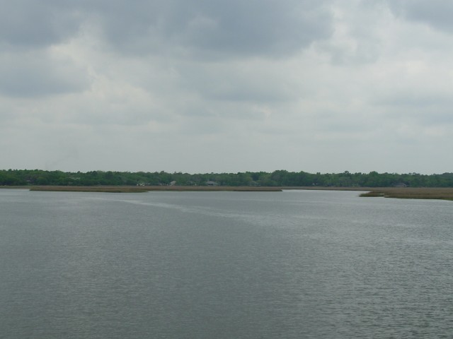
The 27 miles went by quickly and we dropped anchor near Fernandina Beach, FL, in a part of the Amelia River; marshes were all around:
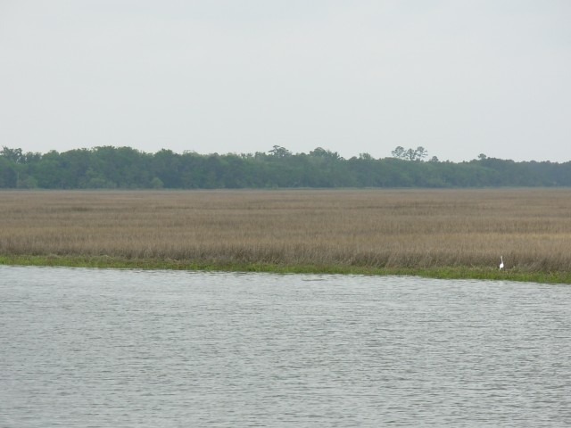
Looking north, it was all grass for about a mile:
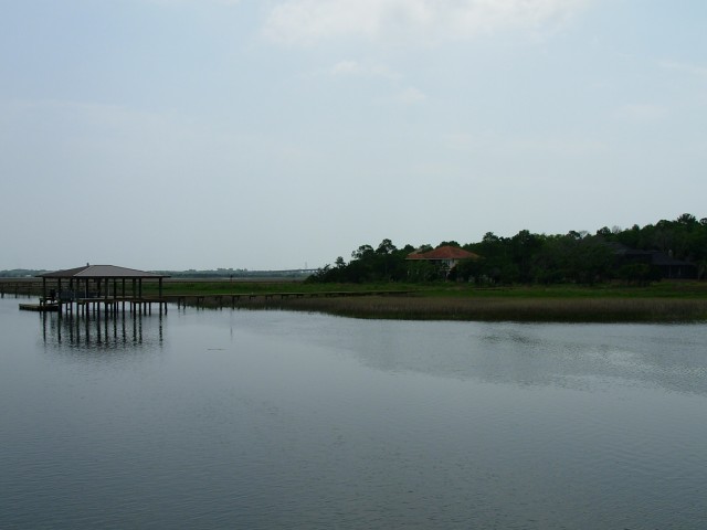
We could see higher ground to the east, about 1.5 miles away:
And northeast was this paper mill; we could neither hear (or smell) it.
We snacked for lunch and had a big salad for supper. After all the rich foods and eating out over the last week or so, salad was quite welcome!
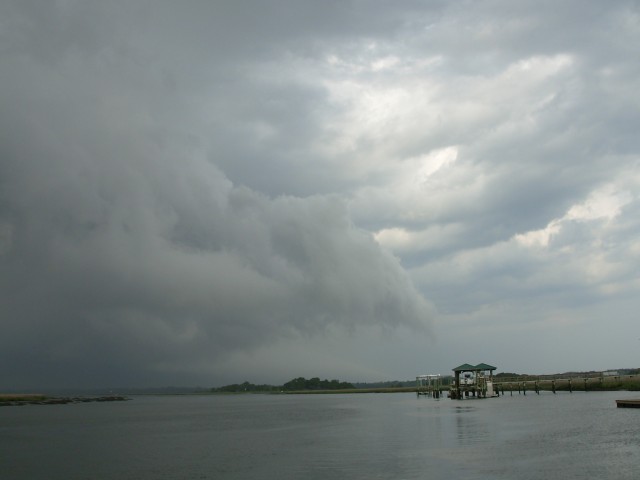
Shortly before supper, we began to hear thunder. Looking out, this is the scene that greeted us:
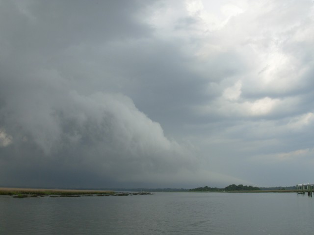
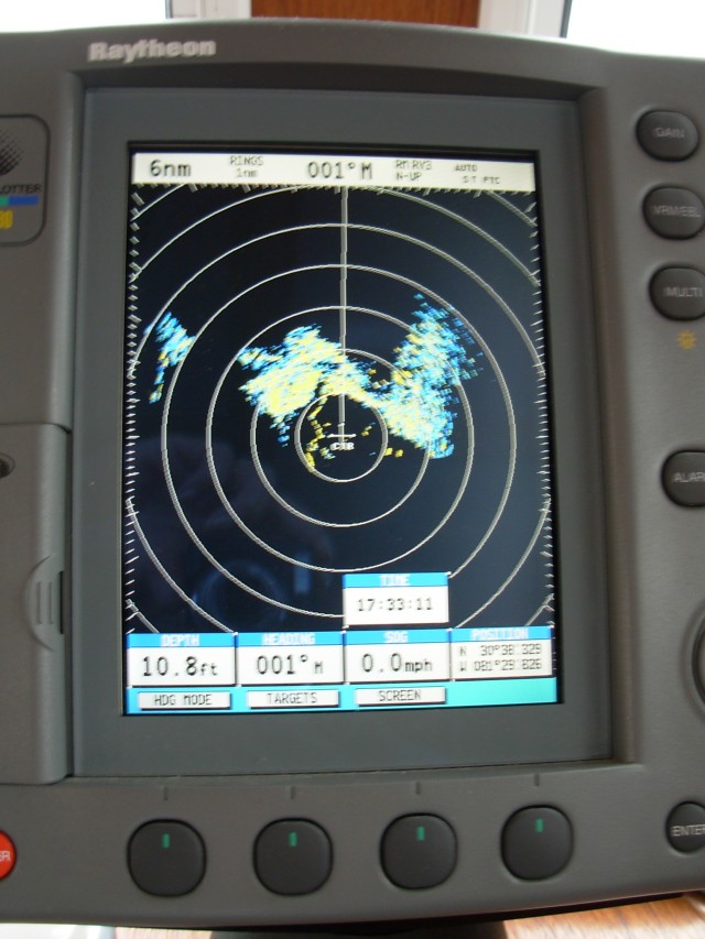
It was a huge thunderhead to the north of us. We turned on the radar to track its size and movement (step aside Weather Channel!):
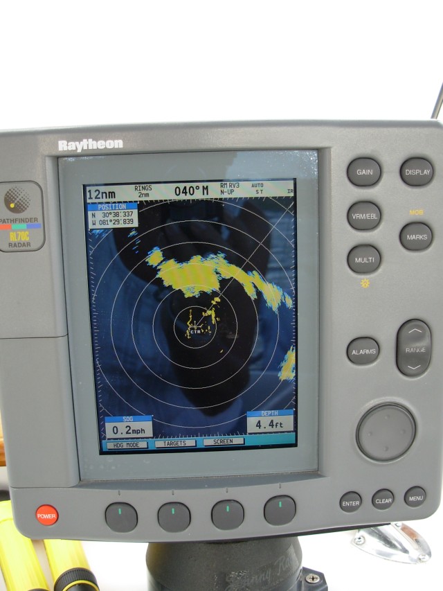
That big yellow blob is the center of the storm. It was five miles due north of us and moving south toward us. We battened down the hatches, started the main engine (in case the anchor dragged) and put on foul weather gear.
Here is the left edge of the storm, looking northwest…
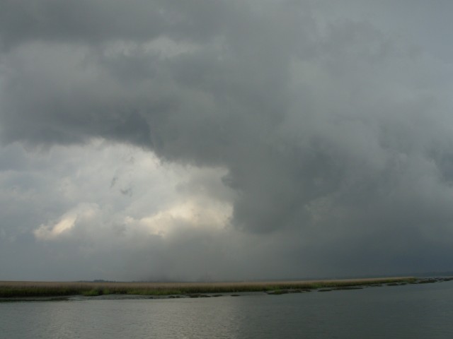
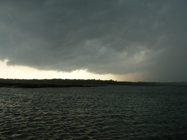
The center, looking north…
And the right edge, looking east...
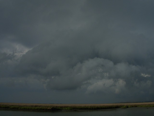
The edge of the storm was about a mile away now:
The wind picked up and got very gusty (note the ripples on the water), and the rain started:
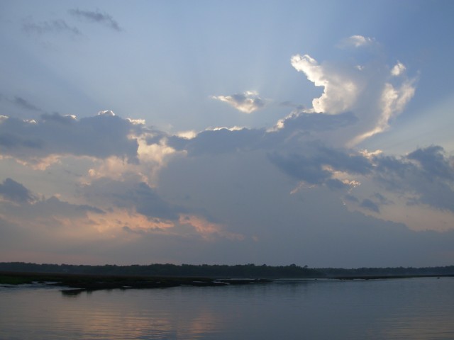
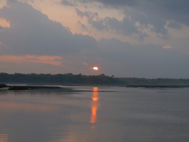
It rained very hard for about an hour and then the sun began to peek through:
Position tonight: N30 38.346 W081 29.833
To return to our Main Page simply  close this window.