Day 184: Tennessee River Mile 558 to Sinking Creek, Tennessee
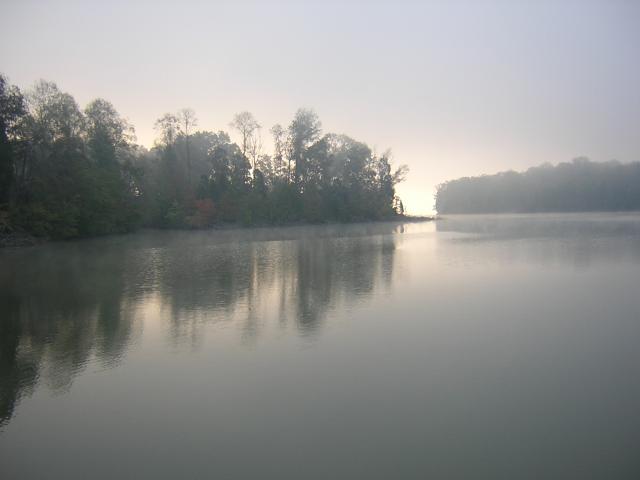
Day 184: Wednesday, October 19th: As it had for the last several days, the dawn came revealing dense fog. We had breakfast and waited as long as we could. About 9am it looked like this in our little cove:
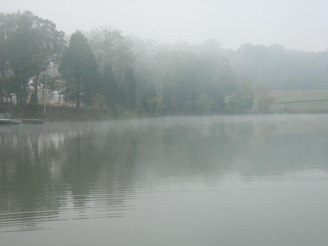
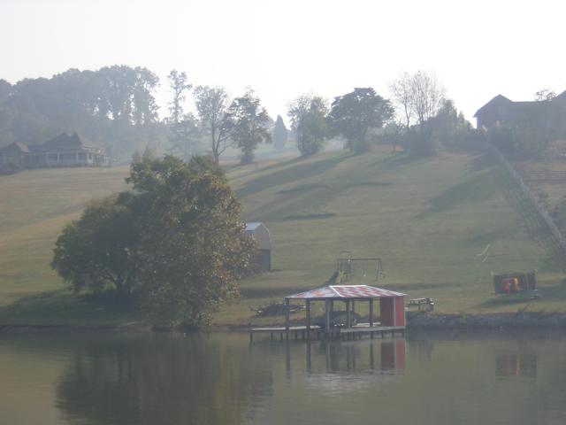
Looking toward the housing development showed that the visibility was about ¼ mile:
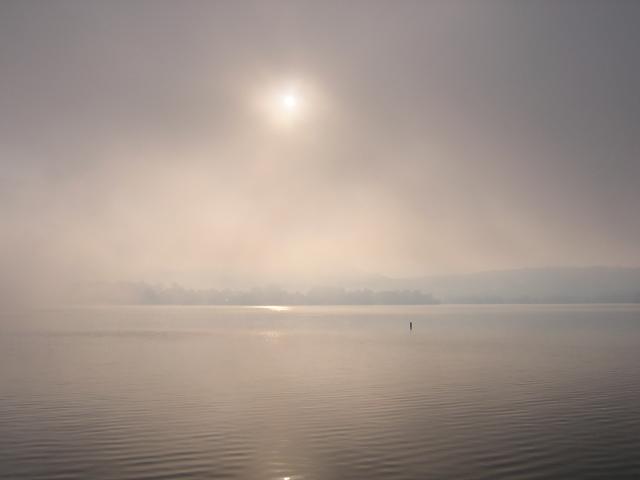
We wanted to go about 52 miles today, so with the radar spinning, we picked our way out onto the lake. Between the radar and squinting we could see the channel markers OK and the sun finally began burning the fog away:
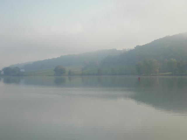
As the visibility got better we discovered we were passing through some very pretty farmland:
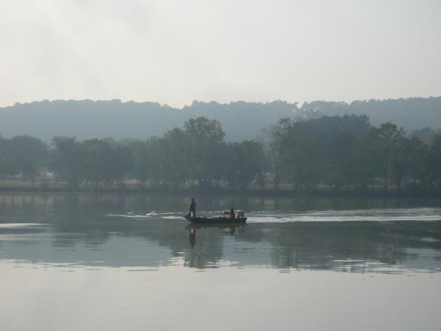
The ubiquitous fishermen were out on the lake, hard at work. Actually, these guys are net fishing so are probably gathering fish to sell:
We got constant reminders that we were in "Big Orange Country." The fans of the University of Tennessee are very loyal and very outspoken. This expression of team support was sort of a highlight. Look closely at the pattern in the grass:
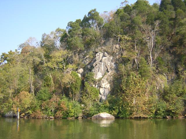
We started back into the land area that was a mix of bluffs and rolling hills. This big bluff was named "Paint Rock Bluff." There are several bluffs with this name on the river:
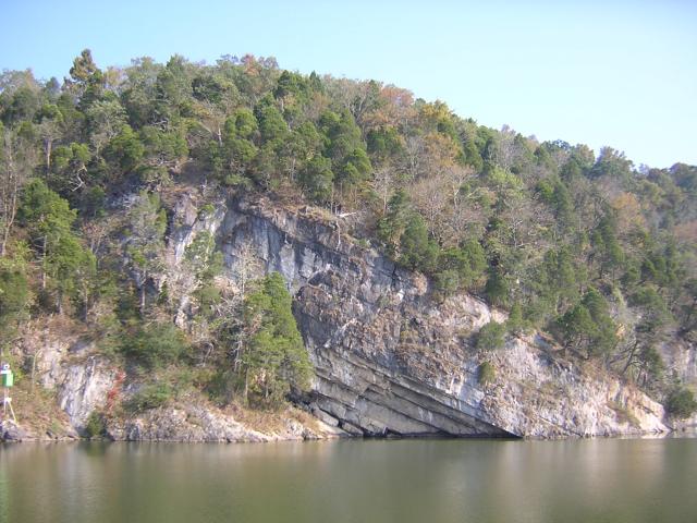
This rather dramatic cliff was formed by a major upheaval of the earth's crust:
Here is a sight for all our sailing friends; this is the fastest sailboat in the world:
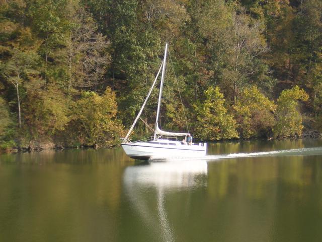
In reality, that boat is a hybrid boat. A 50 horsepower outboard engine is pushing it at that speed. If the captain wants to sail, he lowers dagger boards, pumps water into tanks for ballast and sets sail. We were told that after a few months of this, the owners decide whether they want a speedboat or sailboat.
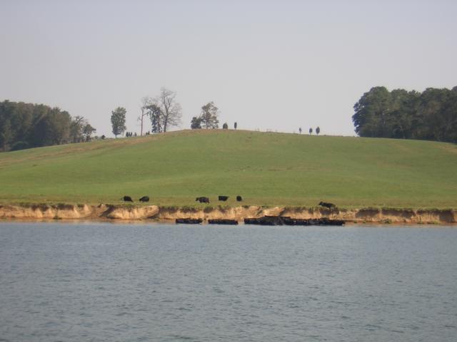
It was a hot day, and we couldn't blame these cows for taking a dip at the river's edge:
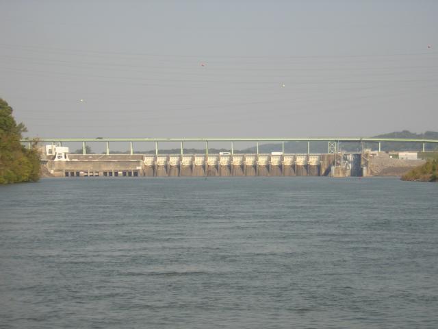
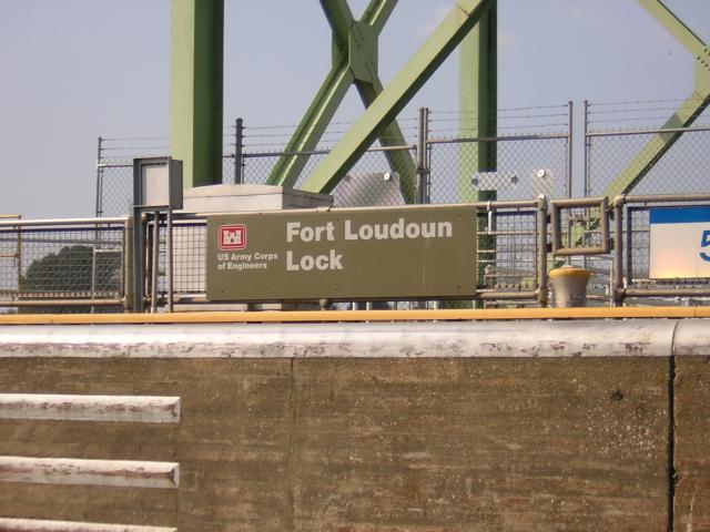
We arrived at Ft. Loudon Lock and there were no barges locking through:
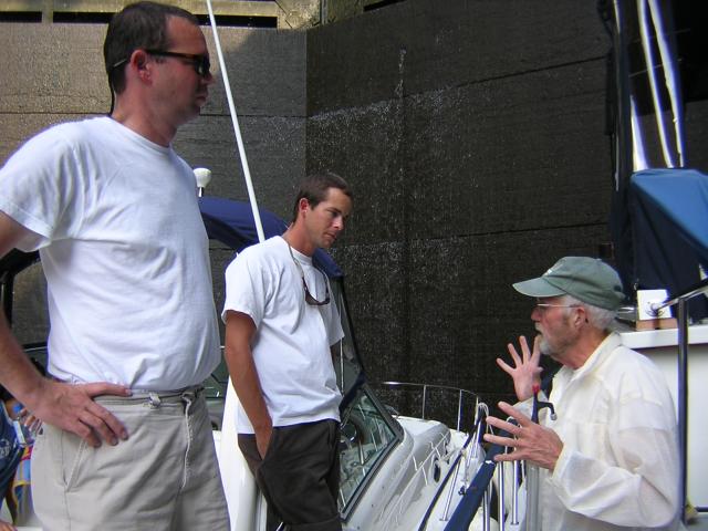
As we moved into the lock a Sea Ray with new owner and delivery captain rushed up behind us and joined us in the lock. The lockmaster had us raft together:
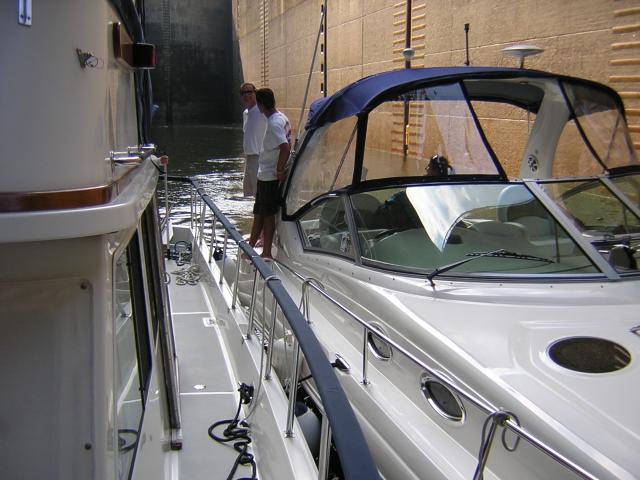
Bill and the guys shared an animated discussion. Well, Bill had an animated discussion:
Ruth got her proof that we were actually here:
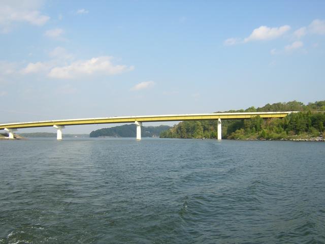
Above the lock is where the Little Tennessee River (LTR) enters the Tennessee River. We turned into the LTR and passed under this unusually colored bridge:
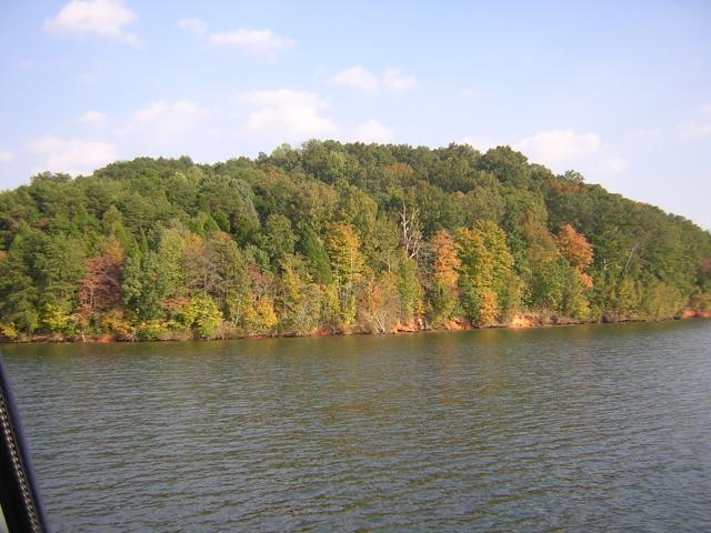
We began to notice that the trees had started to turn colors on this lake; it was a precursor to scenes to come:
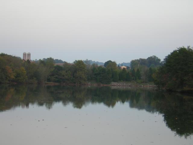
We went up the LTR about eight miles and ducked into a pretty cove at the head of Sinking Creek to anchor for the night. It was very nice:
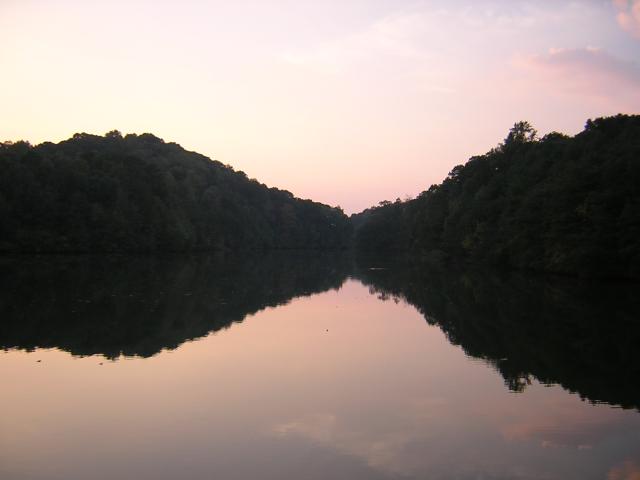
At the head of the cove was big dairy farm. In all, the spot was delightful. Those spots in the water are fallen leaves. Fall is in the air:
Position tonight: N35 41.447 W084 14.008
To return to our Main Page simply  close this window.

 close this window.