Day 142: Chicago to Joliet, Illinois
Day 142: Wednesday, September 7th: [NOTE: This is another day with many pictures. Be patient while they load.]
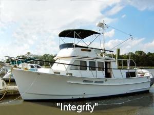
Yesterday we showed you a picture of Integrity with her mast up:
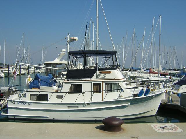
Late yesterday we put her mast down. There are many low bridges to go under today; here she is with it down:
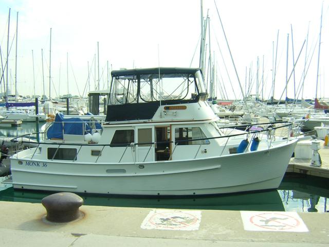
We measured her height in this configuration to be 15ft 2in. Bill decided that meant at least 16 feet of clearance needed. We would be fine today.
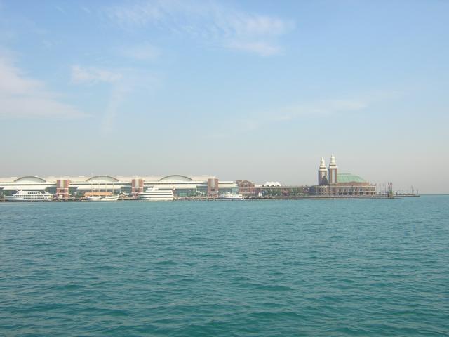
We got underway after rush hour and headed for the lock at the mouth (one of them) of the Chicago River. We passed beside Navy Pier on the way. We decided those were cruise/gambling ships moored alongside:
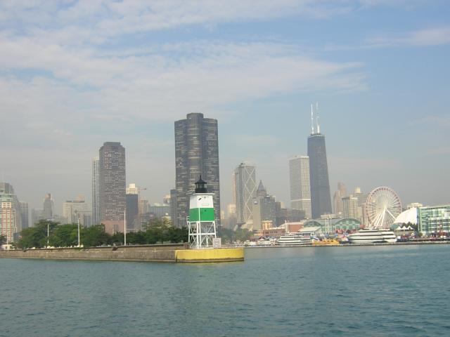
As we rounded the guide wall of the lock we had this view of the Chicago skyline, including the John Hancock building, the amusement park's giant Ferris wheel and the light tower marking the lock:
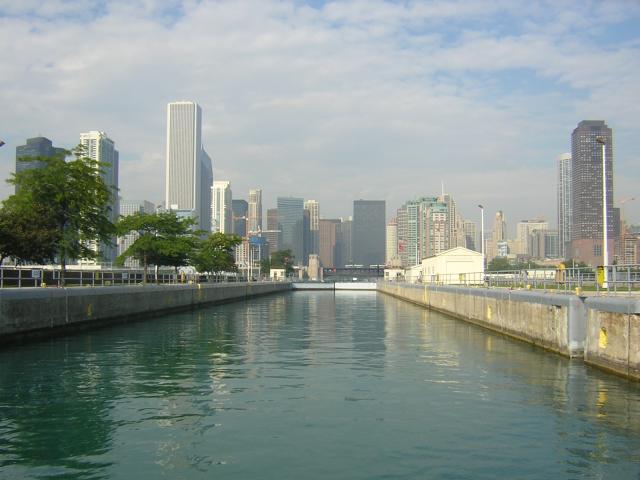
This was our view as we entered the lock. Notice the amount of wet wall - about 1.5 feet - that's all the lift of this lock. The lock serves the strange purpose of reversing the flow of the Chicago so it dumps into the Gulf of Mexico instead of Lake Michigan. That's one of the reasons the canal portion of this route is called the "Sanitation Canal". We are not making this up!
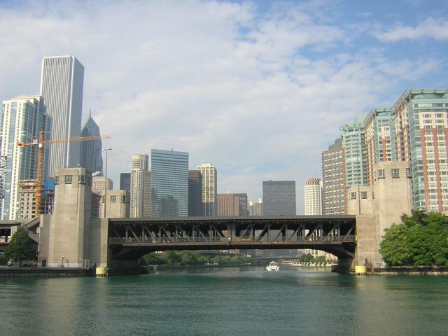
Once clear of the lock we headed through Chicago. We would pass under more than 40 bridges in the next five miles. First was Lake Shore Drive. That's R Enchantment ahead of us. We wound up traveling with her for a couple of days. More later. Lake Shore Drive bridge first:
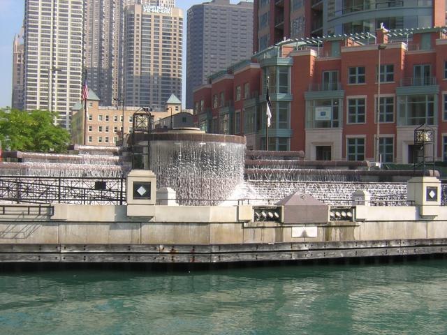
This intricate fountain faced the river and the Riverwalk on the opposite bank. Note the gray pyramid-top box in front. This houses the mother of all nozzles and sends a stream across the river for 10 minutes on the hour. It is 9:59am right now:
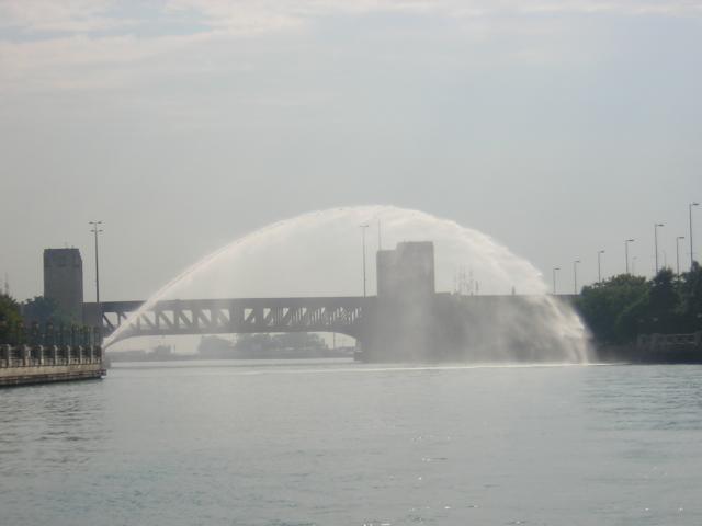
Then it was 10:00am. We missed the shower!:
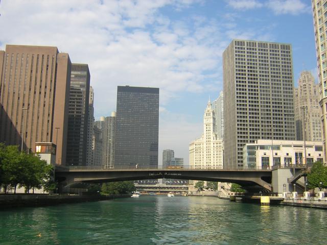
Then we came to the famed Michigan Avenue. Yes, there is enough clearance for us under the bridge:
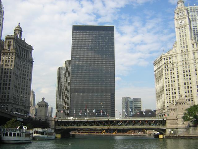
It was thrilling to be floating through downtown Chicago! Tall buildings were on all sides:
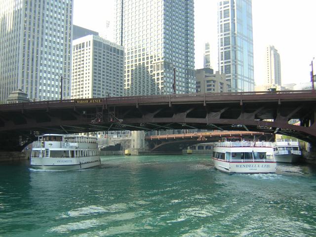
The tour boats were everywhere and, like their taxi counterparts on the streets, they completely disregarded the navigational rules of the road, boat courtesy and us. We dodged more than one that turned around right in front of us. They had the "Get out of my way!" Attitude:
From the song "Chicago":
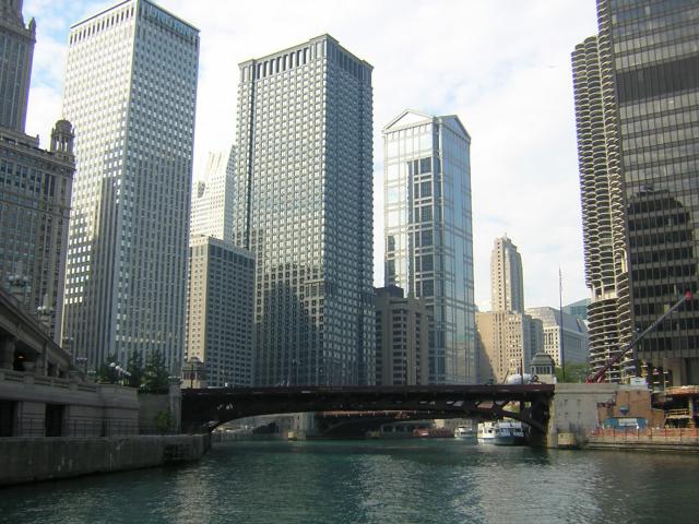
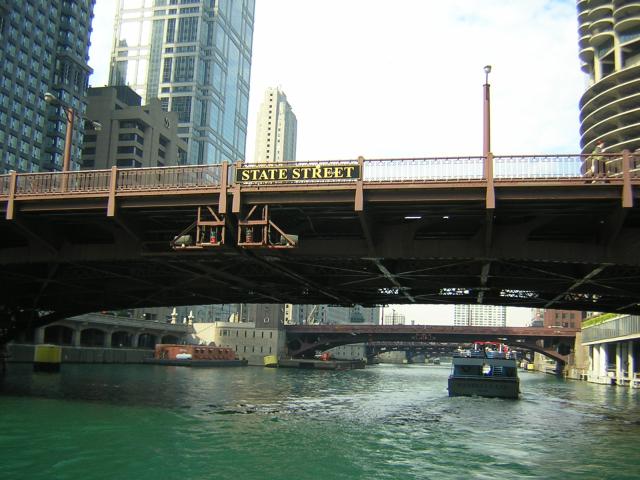
"State Street, that great street…." Notice how the bridges line up along every street:
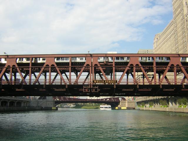
You may have heard of "The Loop" in downtown Chicago. That refers to the "El" (the elevated train). It comes south into town, curves around and heads north again forming a sort of loop. Here comes the El south down Wells Street. It's on the upper level of the bridge; look high:
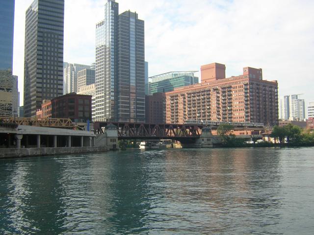
The river turns south as it joins the North Chicago River arm:
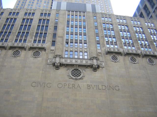
The Opera House stood right on the edge of the river. It was very ornate and impressive!
Then we came to the Presidents' streets. Monroe first (don't know why):
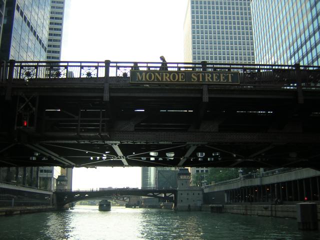
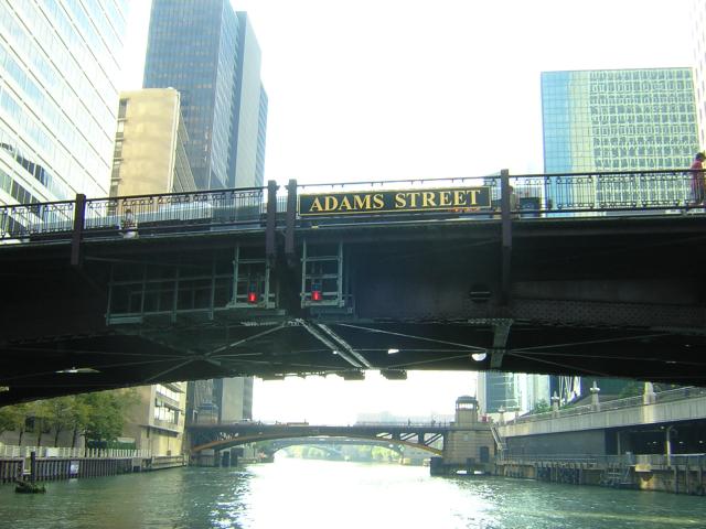
Then Jackson. The fellow on the bridge to the left called down, "Nice boat!" Who says Chicago isn't friendly?
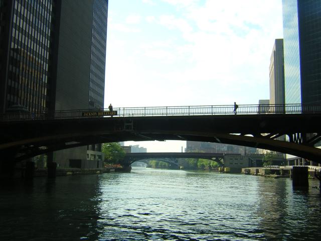
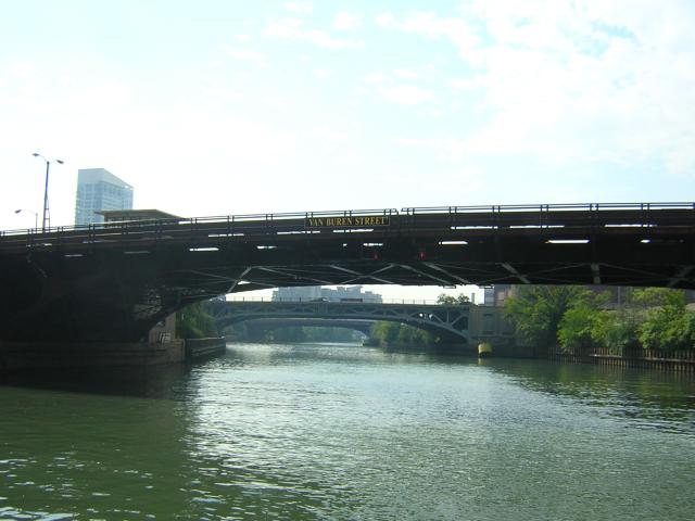
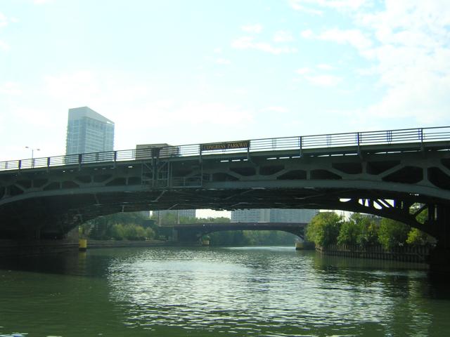
This is getting silly… Congress got into the act:
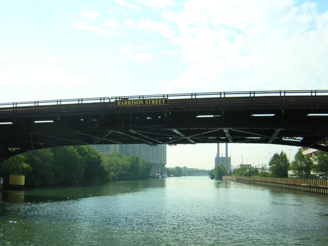
And Harrison… Note that we are about out of downtown:
Some of the bridge abutments were nicely sculpted and festooned with flower gardens:
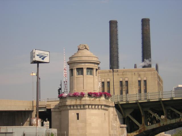
Yes, this was the Amtrak station and yard:
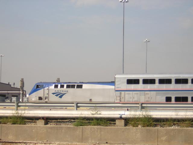
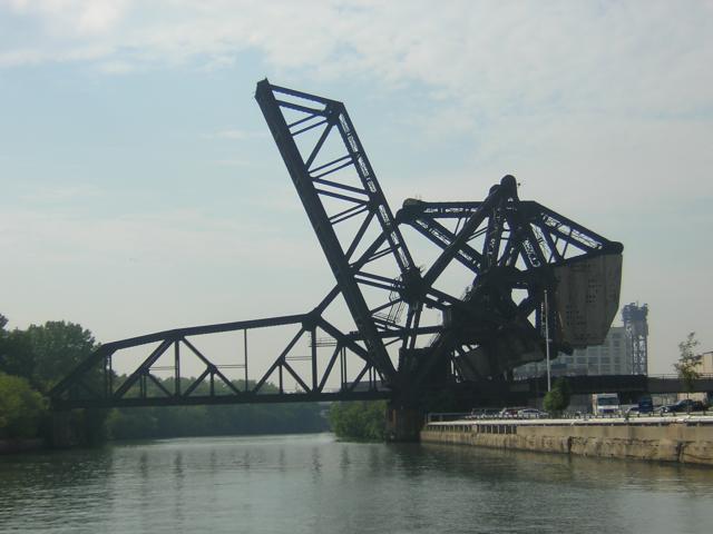
We liked this picture; it seemed sort of artistic in an industrial sort of way. A sort of impromptu abstract sculpture:
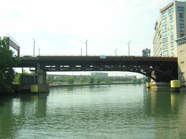
This is not a picture of a bridge. It is a picture of a surprising park alongside the river:
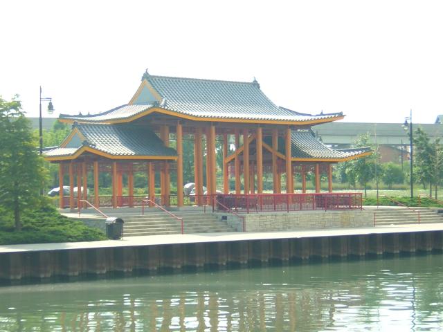
The park had a Japanese flair and was a pleasant change from all the buildings:
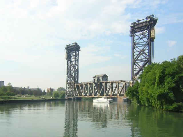
Here is the only bridge that was so low that we had to have it open. It was only 9ft off the water. That's R Enchantment waiting ahead:
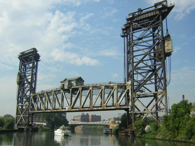
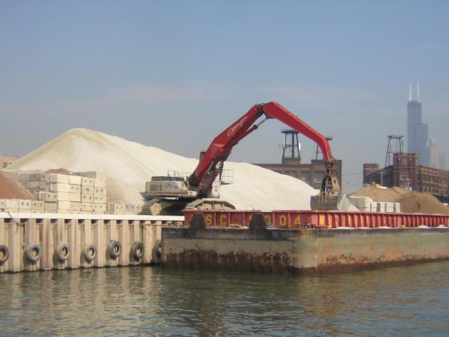
Now we were entering the industrial area where they load and unload the barges that ply these waters. Both banks were lined with operations like this:
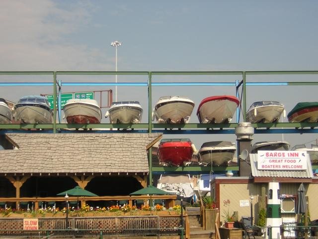
Tucked in among the barges was this cute restaurant/inn. They also offer "dry stack" boat mooring:
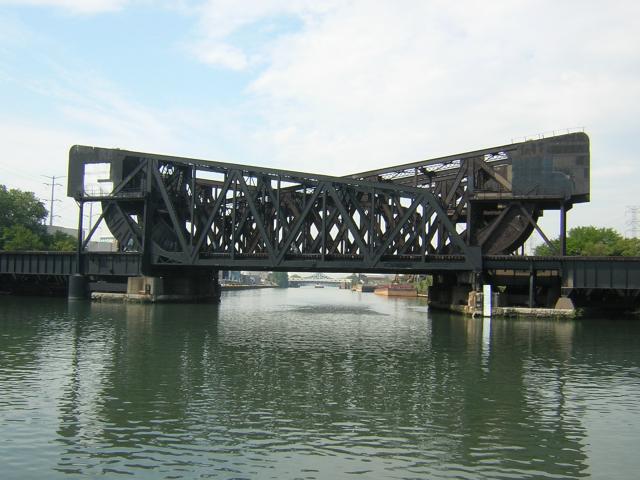
This picture will make your eyes cross. See if you can tell what all that steel is:
Here comes an "upbound" tow. The barges and the towboat pushing them are always called a "tow". We thought they should be called a "push". This one only has three barges. Notice you can barely see the towboat pushing them. They have to worry about getting under the bridges, too:
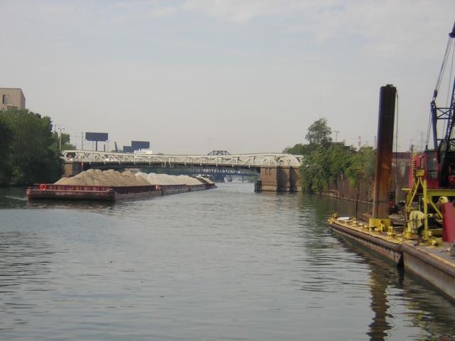
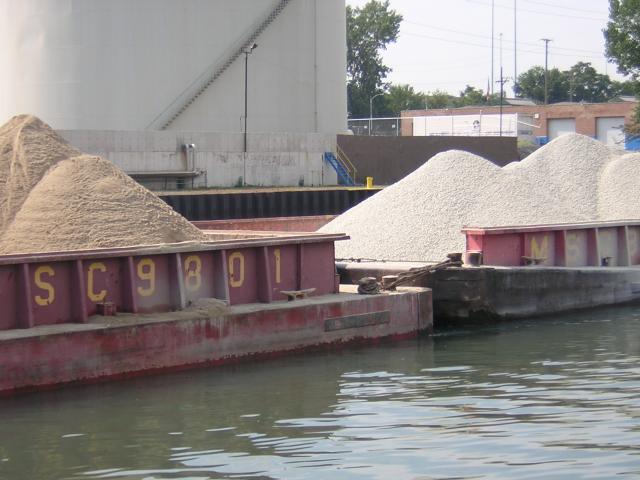
The huge cables the barges are lashed together with fascinated Ruth. The cables are pulled taught by giant chain binders:
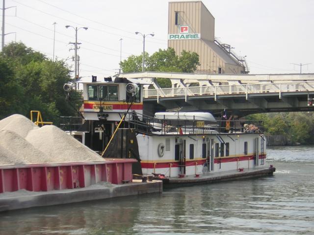
The towboat's pilothouse is low -- almost against the deckhouse. Look closely and you will see a shiny steel post under the pilothouse. We'll explain later:
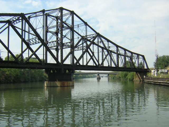
While we were out of Chicago proper, we were not out of bridges. This one crossed the river at about a 30-degree angle:
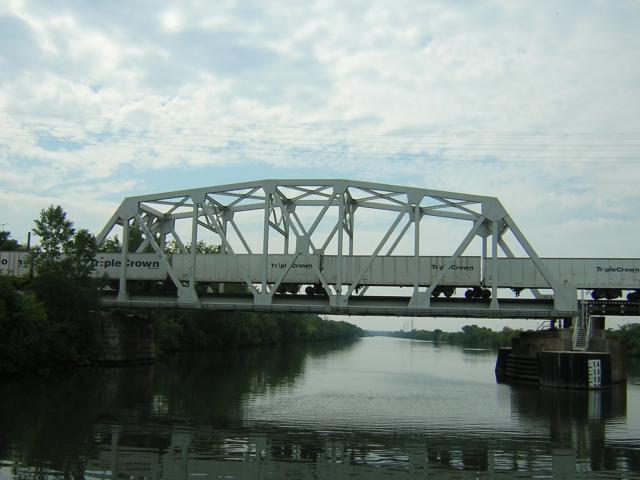
This train was made up of special over-the-road trailers set on wheels. Neither of us had ever seen this kind of train:
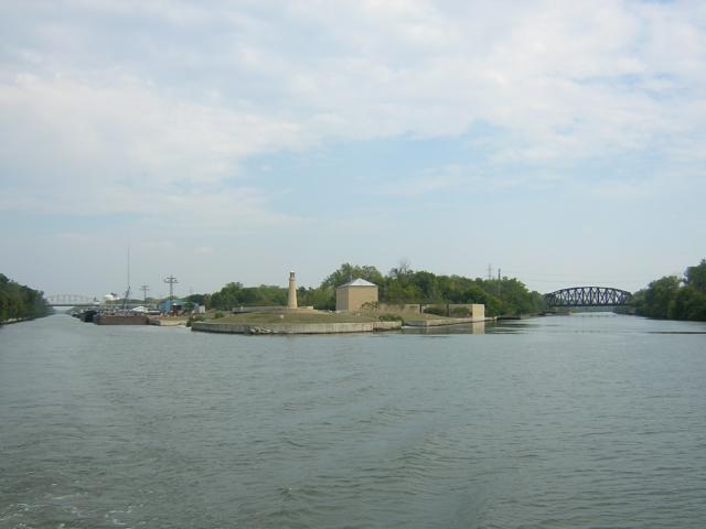
There are two ways to go from Lake Michigan to the Illinois River. On the left is the Chicago River, the way we came, and on the right is the Calumet Sag River (nicknamed the Cal-Sag). The Cal-Sag allows for boats 19 feet high, while the Chicago River only allows 17 maximum. The two come together about 17 miles southwest of Lake Michigan:
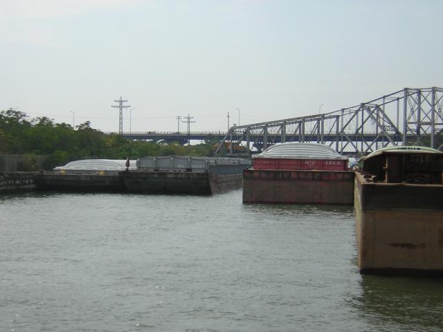
The barges and tows are thick in this area. We had to duck behind the "empties" tied up on the right to allow the tow on the left to come through. He was 80 feet wide and simply scraped the right side of his tow down his right-hand wall; tight fit. He was moving about 1 mile an hour:
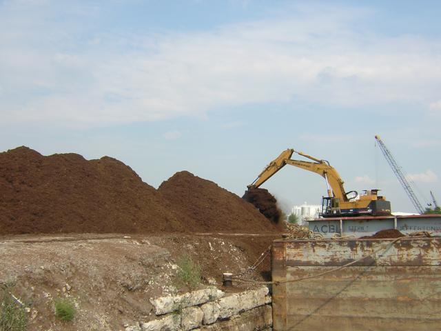
This is a typical unloading operation. The cargo is "bark dust" which is ground up tree bark and branches that is used as mulch. Note how the emptied end of the barge is up out of the water while the full end is still down. The shovel unloads…
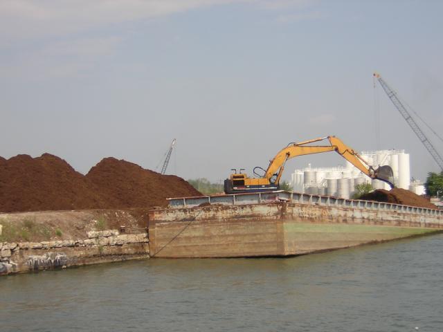
And dumps it on the pile…
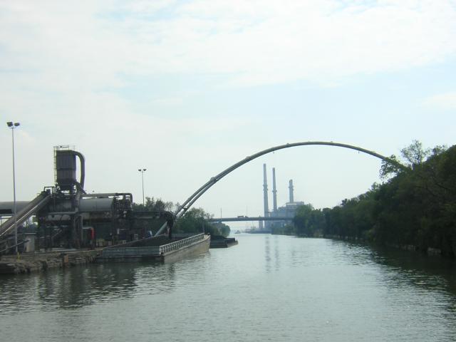
In addition to the bridges crossing the waterway there are buried cables and pipelines. Occasionally, the pipelines go over the river like these:
We next entered the Lockport Lock. This is the other end of the pool that goes through Chicago. All of this water is loosely called the Illinois Waterway. We were officially entering the Illinois River:
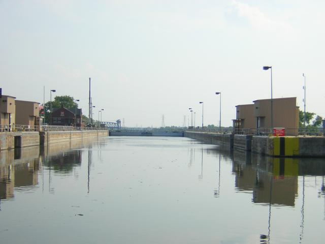
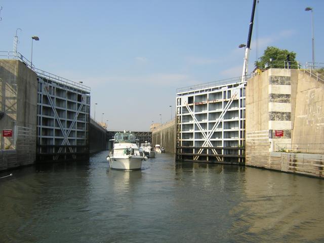
The locks are run by the Corps of Engineers and are huge. They are over 600 feet long and about 120 feet wide normally:
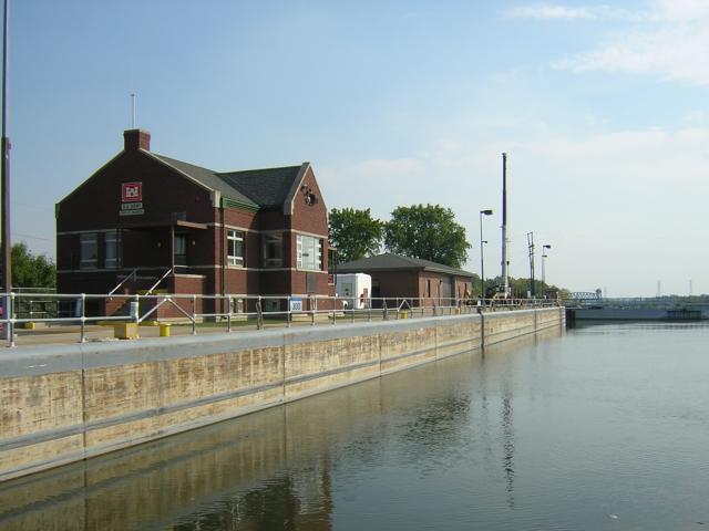
We would drop some 35 feet to the river level; it's way down there. That's the ram that opens the gate. We were told the motors that move the gate are about ¾ horsepower:
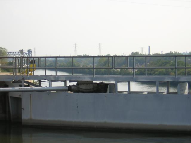
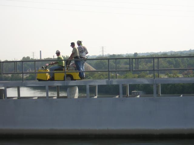
The lock workers use this little cart to move around the lock:
We had gathered quite a following by now. In the lock with us was Unforgettable closest, R Enchantment next, then Catnip Too and Pilgrim is the sailboat; everyone is doing the Loop.
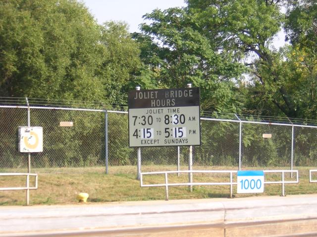
Here is a most confusing sign. It appears that the bridge only operates during the posted hours. Actually, it does NOT operate during those hours (rush hour). Go figure:
This railroad bridge stays open unless a train is coming:
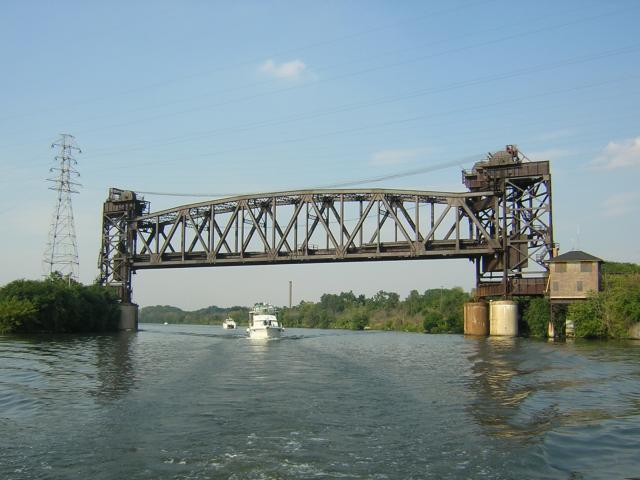
Integrity could squeeze under this one, but Unforgettable could not. It is now 4:30pm - the middle of "no open" time:
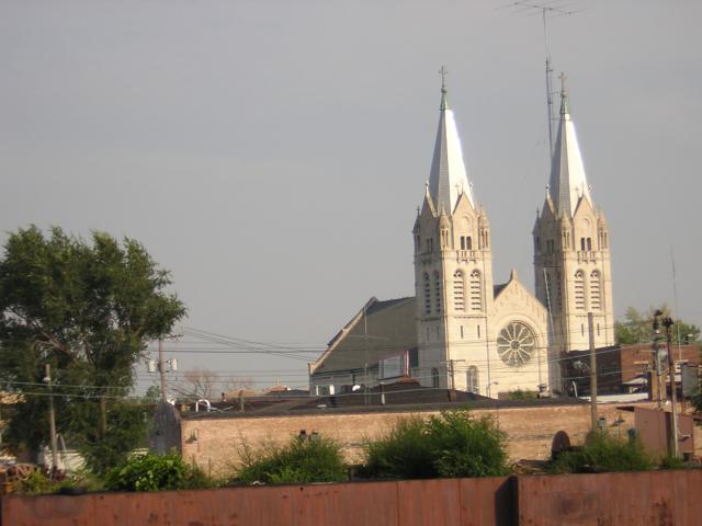
Arriving in Joliet, IL, we spotted this twin-steeple church, the first we had seen since leaving Quebec Province:
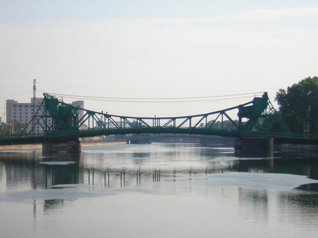
This was the last bridge of the day.
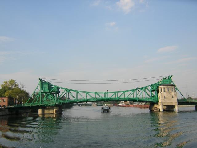
We moored to the wall just to the left in Bicentennial Park. This was Joliet, and the finish to a very unique day.
Ruth had enough energy to walk to the grocery store with several of the other boat crews. All five boats that shared Lockwood Lock were here. We all shared a brief happy hour and turned in.
Two locks today brought the total for the trip to 116.
Position tonight: N41 31.604 W088 05.218
To return to our Main Page simply  close this window.
 close this window.