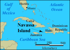
Region map showing location of Navassa Island.
(U.S. Geological Survey)
|
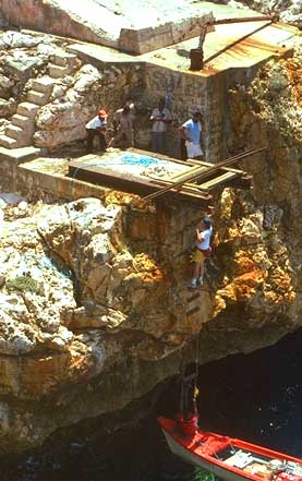
Members of the 1993 DXpedition to Navassa Island climbing
up the wire-rope ladder at Lulu Bay. The rope ladder has since been removed.
Photo courtesy of Don Roland, VE1AOE.
|
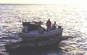
Haitian fishing boats in the bay at Navassa Island. (U.S. Geological Survey)
|
|
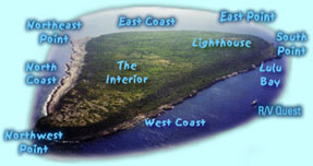
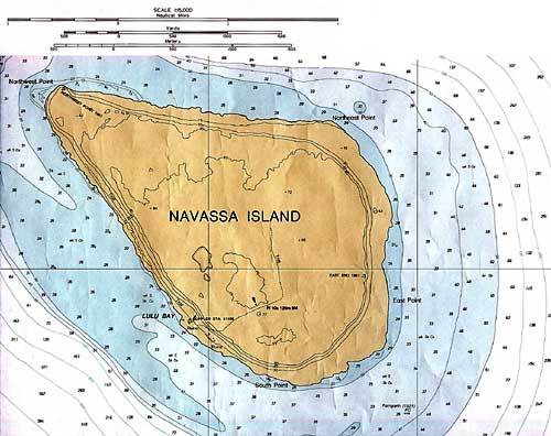
Navassa from the air: aerial view of Navassa, looking from west to east. North is to the left. This aerial view of the island shows the location of Lulu Bay, which is near the lighthouse. Contrary to Fish and Wildlife Service position, a second landing area is located at the northwest point of the island. There is a small shelf that allows one to land from a small boat, then climb to the first level. An operation in 1974 took place from this location (U.S. Geological Survey). A very nice photographic tour of Navassa Island is presented by the U.S. Geological Survey at http://coastal.er.usgs.gov/navassa/.
|
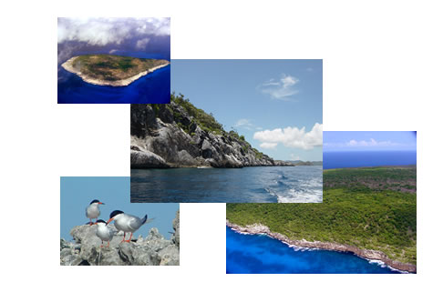
Various views of Navassa Island (FWS photos).
|
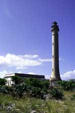
Navassa Island Lighhouse (U.S. Geological Survey).
|
|